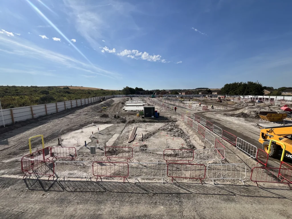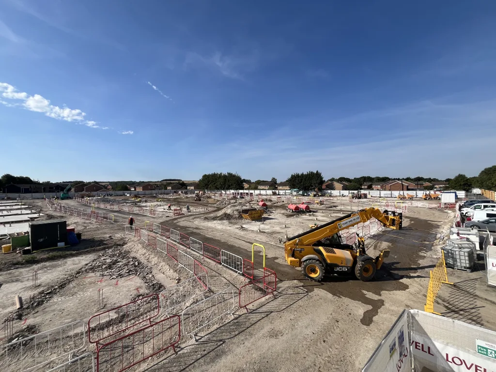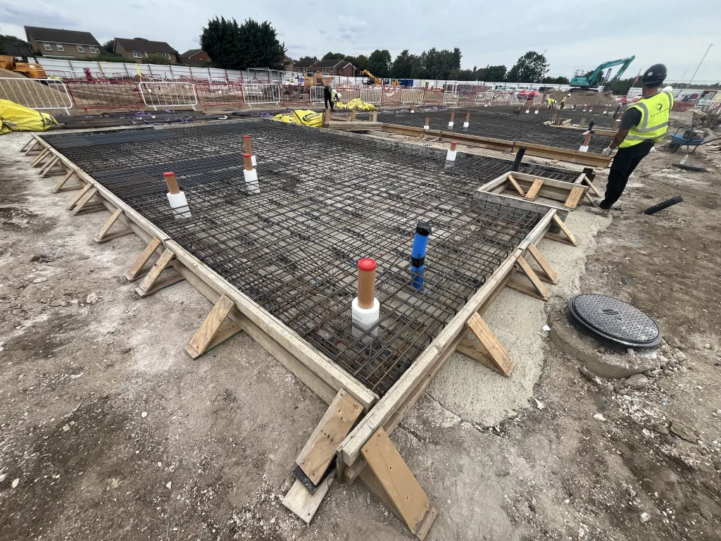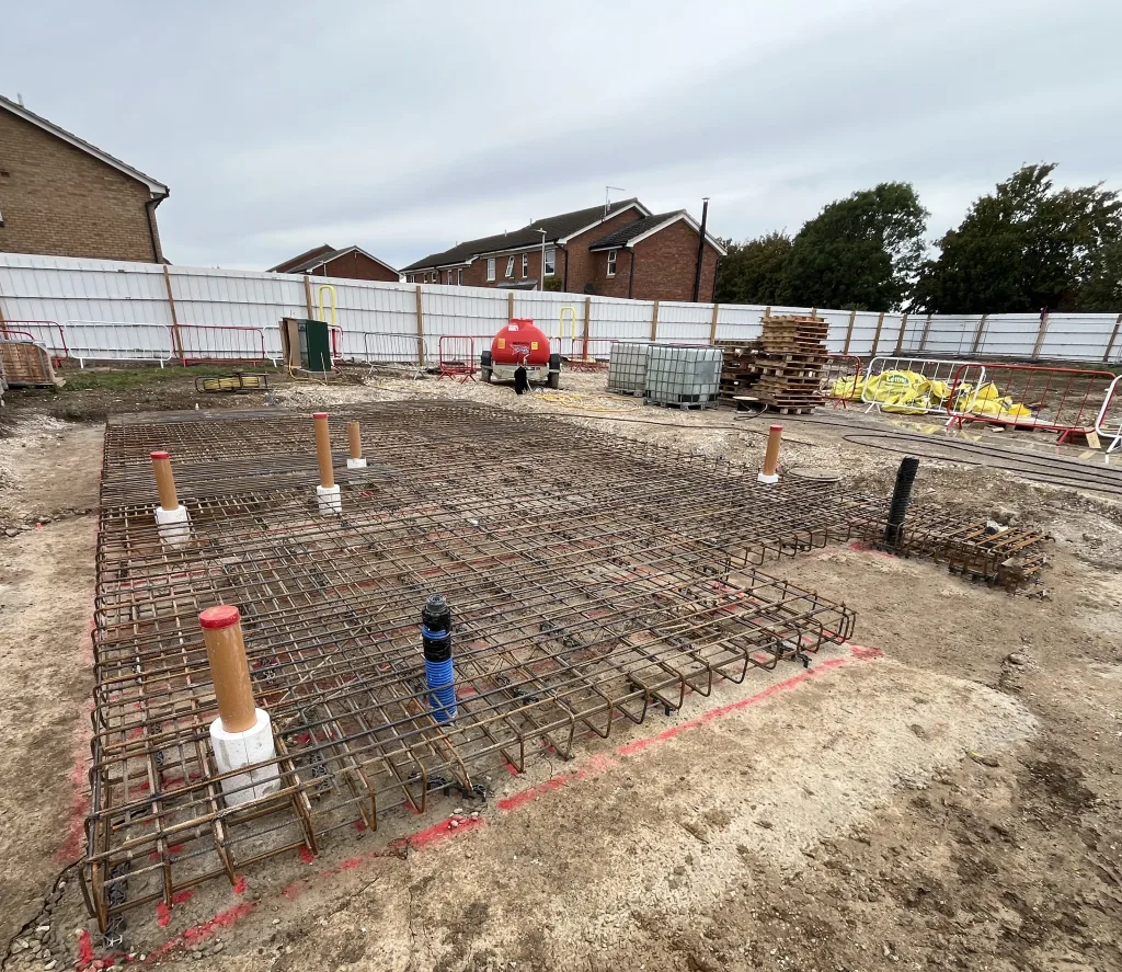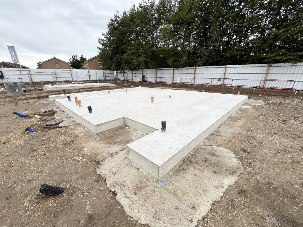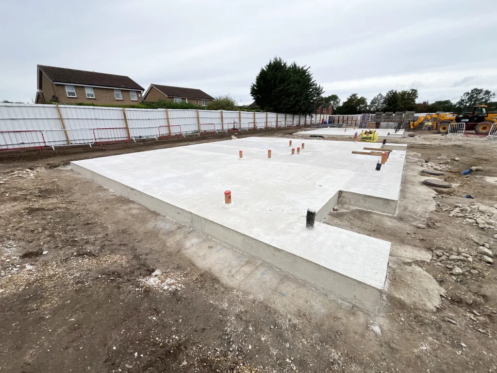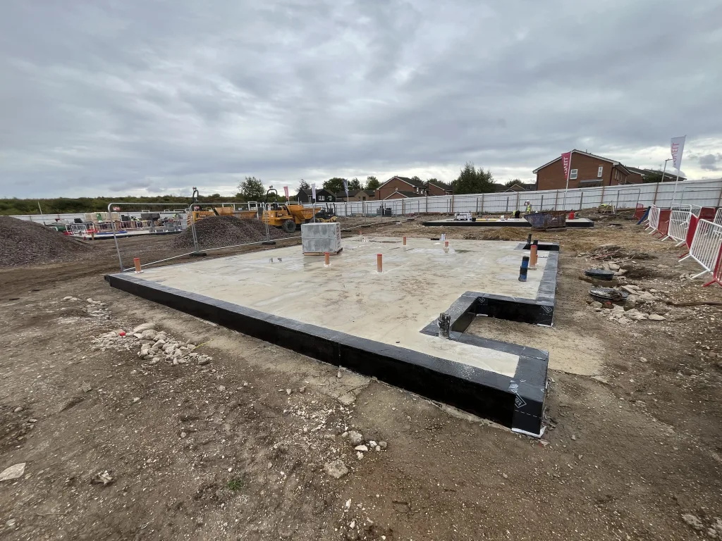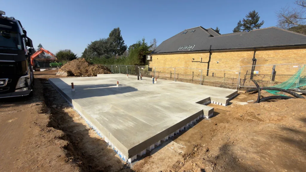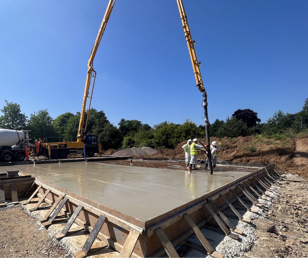
The ground is a thin layer of clayey topsoil, 0.30 m to 0.50 m thick, over chalk, with groundwater encountered between 8.30 m and 15.10 m below ground level. The upper chalk is structureless and low density (Grade Dm) to between 1.20 m and 2.30 m below ground level, so any shallow foundation would have sat on weak chalk.
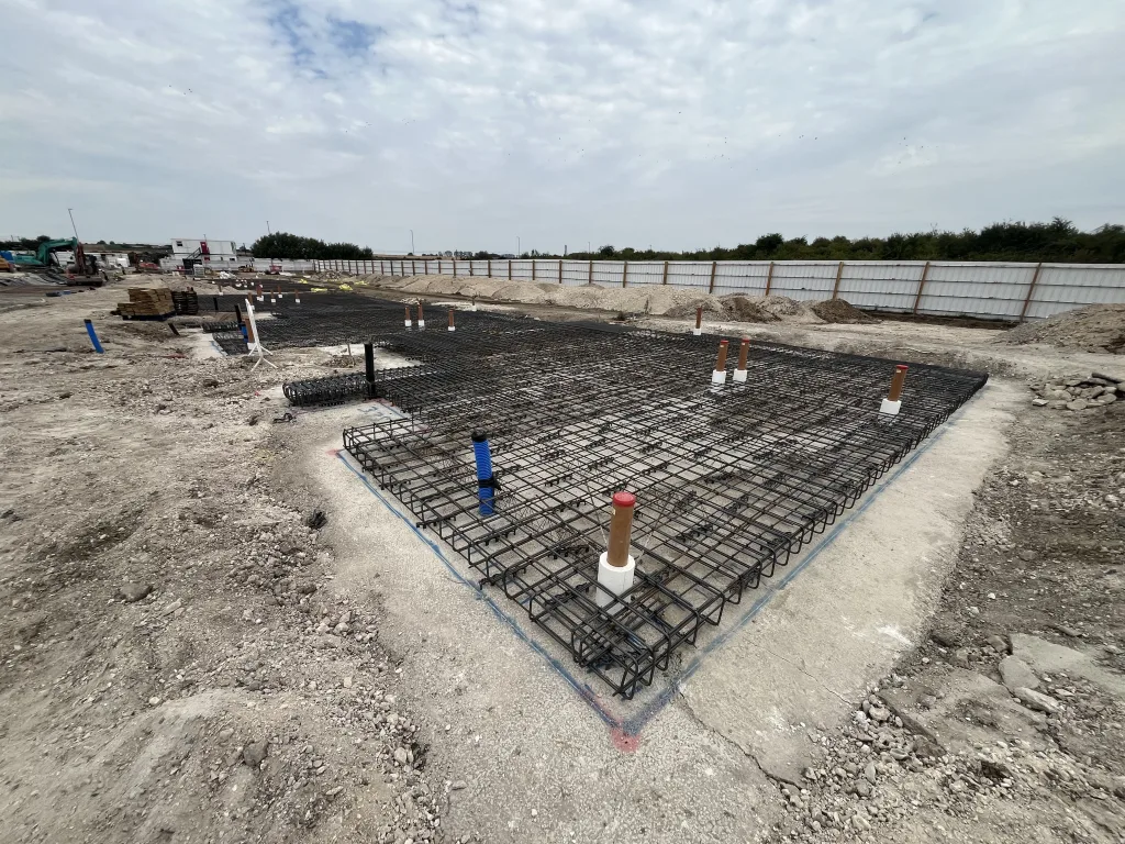
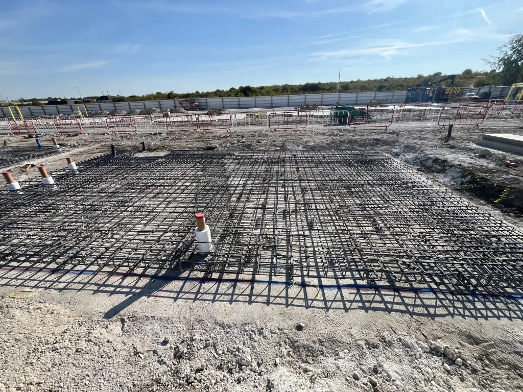
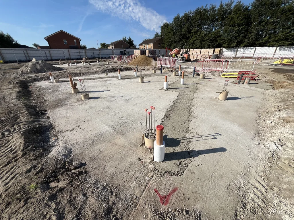
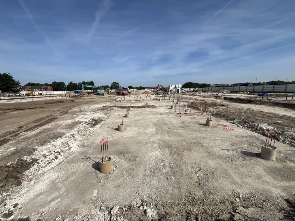
An earlier foundation appraisal for the site proposed reinforced strip footings about 1 m deep, with cross-shaped bases at every building corner to bridge chalk dissolution voids of up to about 5 m, a suspended ground floor slab, and every trench inspected for soft spots. The same appraisal rated a piled raft as robust against dissolution features. SPEEDECK recommended a piled raft, which did away with the corner bases and the trench-by-trench soft spot risk, and brought piling and the slab together in one design and build package.
Clay: The site investigation logged the soils beneath the topsoil as clay, which would normally mean voided rafts to protect against heave. SPEEDECK tested what they actually were. Eight Atterberg limit tests to 3 m below ground level returned plasticity indices of 4 to 7 and classified every sample as non-plastic chalk. Three particle size distribution tests measured clay contents of 5% to 11%, too few fines for the soils to swell.
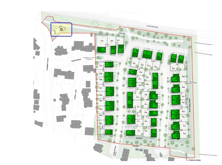
Trees: The tree survey recorded 19 trees and groups, including high water demand willow and cypress, with zones of influence of up to 22.5 m. Twelve of the 42 plots sit inside those zones. On shrinkable clay, NHBC Standards Chapter 4.2 would call for heave precautions on these plots. Because the soils are non-plastic, the influence depth was nil, and SPEEDECK’s heave assessment showed no plot needed heave protection.
Chalk dissolution: A dissolution feature had been recorded about 300 m from the site. The chalk was found at a consistent depth and its SPT N values were not particularly low, so SPEEDECK assessed the dissolution risk as low.