


FAQs
Can piled raft foundations be used on clay soils?
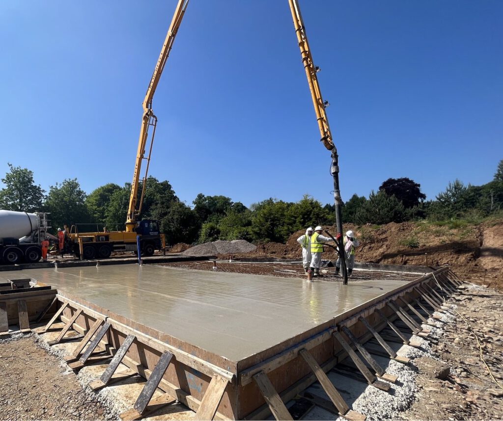
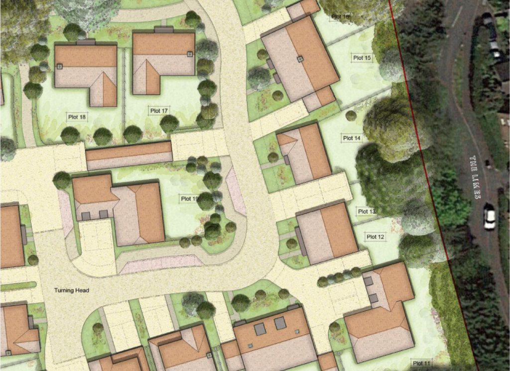
Yes. Piled raft foundations are commonly used on clay soils, including London Clay, where shrink-swell movement and varying ground conditions can affect traditional shallow foundations. By combining a reinforced concrete raft with strategically positioned piles, piled rafts can help manage settlement and provide a robust foundation solution for clay sites.
What is a geotechnical assessment?
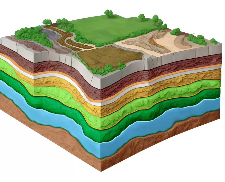
A geotechnical assessment is an early-stage evaluation of a site’s ground conditions, geology and potential development constraints. It is used to identify risks that could affect site viability, construction methods, foundation requirements and overall project costs.
The assessment typically considers available information such as geological mapping, historical land use, ground investigation data and site-specific characteristics. By understanding these factors before detailed design begins, developers can make more informed decisions about the feasibility of a project and the potential challenges that may need to be addressed during construction.
Why is a geotechnical assessment important before development?
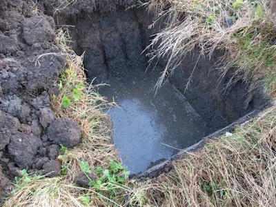
Ground conditions are one of the most significant variables affecting the success of a development project. Issues such as poor bearing soils, high groundwater levels, made ground, slopes or historical land use can all influence foundation design, construction costs and programme timelines.
A geotechnical assessment helps identify these risks at an early stage, allowing developers to better understand site constraints before committing significant investment. Early insight into ground conditions can improve budgeting accuracy, support planning decisions and reduce the likelihood of unexpected costs or delays later in the development process.
When should a geotechnical assessment be carried out?
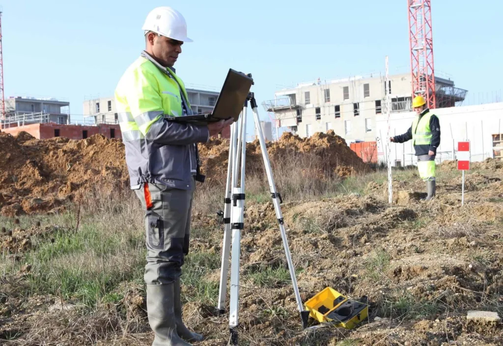
A geotechnical assessment is most valuable during the feasibility, site appraisal or pre-acquisition stages of a project. Carrying out an assessment before purchasing land, submitting planning applications or progressing to detailed design allows potential risks to be identified early.
By understanding the site’s ground conditions at the outset, project teams can make informed decisions about development viability, likely foundation requirements and any additional investigations that may be needed before construction begins.
Can a geotechnical assessment identify foundation risks?
Yes. One of the primary purposes of a geotechnical assessment is to identify ground-related factors that could influence future foundation design and construction.
Potential risks may include shrinkable clay soils, high groundwater levels, made ground, variable soil conditions, steep slopes or historical site activities. While a geotechnical assessment does not provide a detailed foundation design, it helps identify the issues that may need to be considered during the later geotechnical engineering and foundation design stages of a project.
What happens after a geotechnical assessment?
Following a geotechnical assessment, the findings can be used to inform decisions about site acquisition, planning strategy, further investigations and project budgeting. The assessment may also identify the need for additional site investigations to better understand ground conditions.
Once sufficient ground information is available, projects typically progress to the geotechnical engineering stage, where detailed analysis of the site’s subsurface conditions is undertaken. This information is then used to develop foundation designs and engineering solutions that are tailored to the specific requirements of the development and its ground conditions.