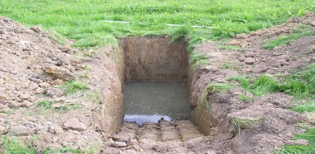
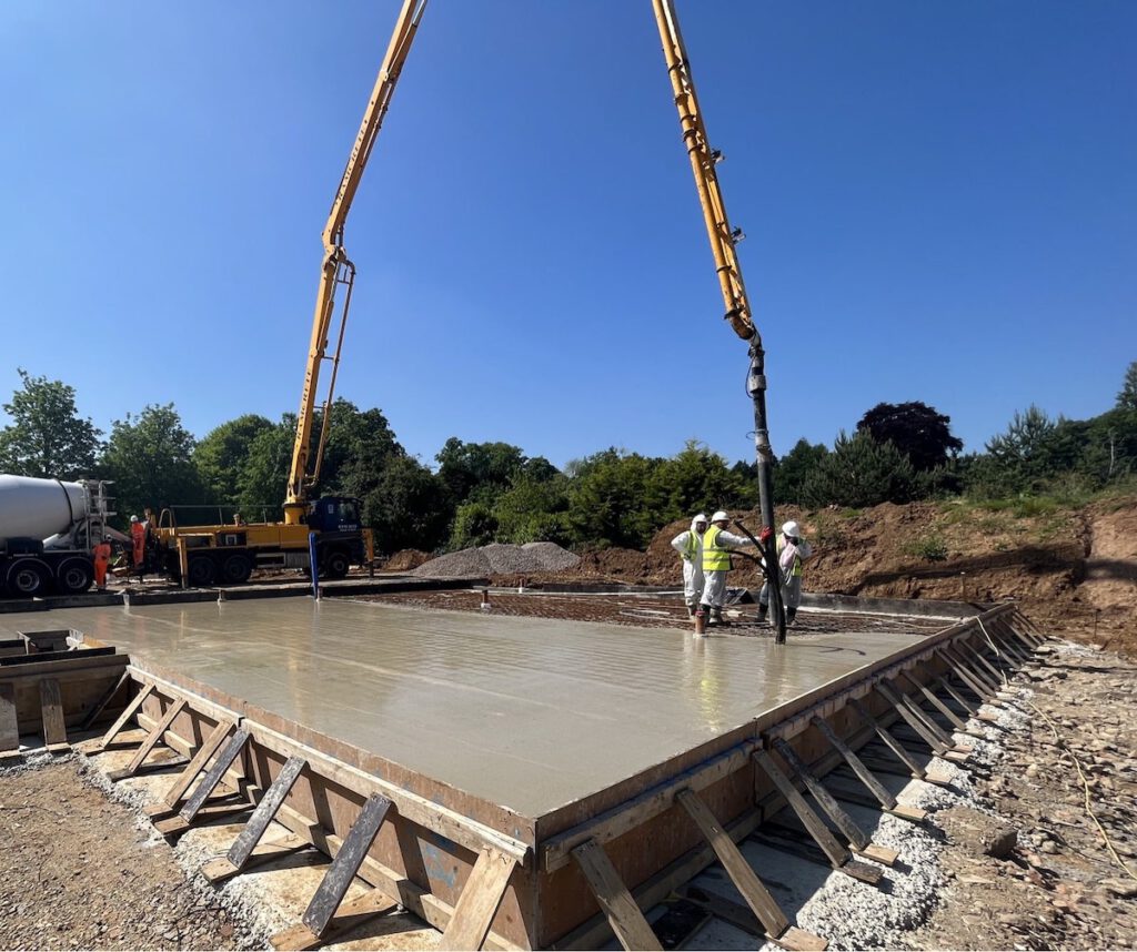
A geotechnical assessment is an early-stage evaluation of a site’s ground conditions, geology and potential development constraints. It is used to identify risks that could affect site viability, construction methods, foundation requirements and overall project costs.
The assessment typically considers available information such as geological mapping, historical land use, ground investigation data and site-specific characteristics. By understanding these factors before detailed design begins, developers can make more informed decisions about the feasibility of a project and the potential challenges that may need to be addressed during construction.